Fire or life threatening emergencies: 000
Emergency Information: 13 3337
SES Emergency Assistance: 132 500
Fire or life threatening emergencies: 000
Emergency Information: 13 3337
SES Emergency Assistance: 132 500
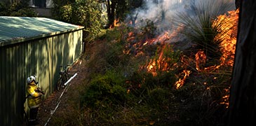
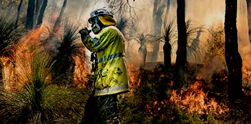
The Map of Bush Fire Prone Areas identifies land in Western Australia that has the potential to be impacted by bushfires. This land is designated by the Fire and Emergency Services Commissioner.
Additional planning and building requirements may apply to new proposals within a bushfire prone area. A further assessment of bushfire risk may also be required to ensure future developments in bushfire prone areas are safer.
The requirements are described in State Planning Policy 3.7: Bushfire (SPP 3.7) and the Planning for Bushfire Guidelines (the Guidelines). You can find these documents at wa.gov.au.
Additional planning and building requirements may apply to development within designated Bushfire Prone Areas, in accordance with Schedule 2 Part 10A of the Planning and Development (Local Planning Schemes) Regulations 2015, SPP 3.7, the Guidelines, and the Building Code of Australia.
If you are the proponent, you’ll be responsible for ensuring that the proposal complies with the relevant planning policies and building regulations.
Tip: If the map appears blank, you may need to clear the cache in your browser. Alternatively, check for mapping outages here.
The Map of Bush Fire Prone Areas is reviewed regularly to better represent bushfire risk across Western Australia.
The latest version of the Map was designated under section 18P of the Fire and Emergency Services Act 1998 and came into effect on 13 December 2025.
A four month transition period will apply for newly designated areas on the Map.
Please contact your local government if you have information to contribute to the next review of the Map.
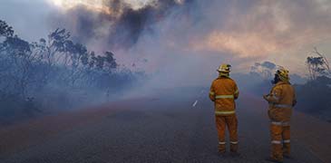
DFES plays an important role providing technical bushfire related advice to inform and guide decision-making on strategic planning proposals, and subdivision and development applications for land within a designated bushfire prone area.
The Land Use Planning team also provide evidence for the State Administrative Tribunal (SAT) proceedings on bushfire risk, together with its consequences for planning decisions; and act as a referral agency when there is Unexploded Ordnance (UXO) contamination.
DFES provides advice on potential hazards of changing land use or developing unexploded ordnance (UXO) affected sites and makes recommendations where a UXO Risk Assessment (or similar) of land is appropriate to identify and address UXO risk. DFES does not have technical knowledge in UXO management, and its advice is mostly based on the information available from the Department of Defence.
For map and dataset queries, contact us at the Office of Bushfire Risk Management. To enquire about a referral or UXO contamination, contact the Land Use Planning team.